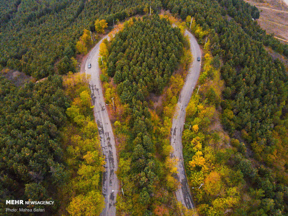
Airborne imagery to study climate change in Hyrcanian forests

TEHRAN – The Forests, Range, and Watershed Management Organization has carried out aerial surveys on Hyrcanian forests using technological advances to identify the effects of climate change, ILNA reported on Sunday.
A plan is prepared to identify the effects of climate change on the incidence of pests and diseases, land-use change, deforestation, and wood smuggling in some forest areas using innovations and advanced technologies.
Through the first phase of the plan, a limited area of Hyrcanian forests will undergo airborne imagery, and in the next phase, aerial surveys will be conducted on wide areas of Hyrcanian forests, according to the report.
The use of ultralight aircraft in aerial photography is a nascent knowledge in this field and is practiced in a few countries in the world and to a limited extent. The implementation of this project is done in cooperation with a knowledge-based company affiliated with the Vice Presidency for Science and Technology.
Using ultralight aircraft is one of the protection measures that prevent wood smuggling and deforestation.
Designated as a World Heritage site by UNESCO in December 2019, the Hyrcanian Forest cover the northern slope of the Alborz Mountain in Iran at the southern edge of the Caspian Sea and it contains very rich ecosystems due to the particular orographic and climatic situation (precipitation rich, warm-temperate, high moisture from the Caspian Sea and damming effect of the Alborz Mountain range).
According to UNESCO, the forest contains the most important and significant natural habitats for in-situ conservation of biological diversity with 69 mammal species and 304 bird species, including those containing threatened species of outstanding universal value from the point of view of science or conservation. It also contains superlative natural phenomena or areas of exceptional natural beauty and aesthetic importance.
FB/MG
Leave a Comment