Tehran metro takes on a new role in urban tourism
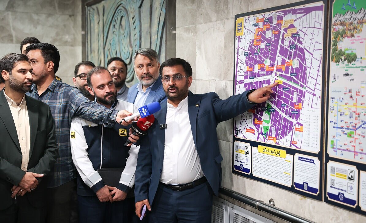
TEHRAN - Tourism maps have been installed at 24 metro stations in Tehran to help passengers discover historical, cultural and tourism attractions located around the stations, the Tehran Municipality Tourism Headquarters said.
“Tehran, with more than 10 million people and an extensive public transportation network, has considerable potential for using the metro for tourism,” Amir Ghasemi, head of the headquarters, said at a ceremony unveiling the maps on Tuesday.
“The initiative was designed to make greater use of Tehran’s extensive metro network as a tool for urban tourism, in addition to its conventional role as a public transport system.”
He added that the idea of using the metro network to promote tourism was first raised about two years ago and was subsequently developed by the municipal tourism headquarters with the participation of people who had conducted field research on Tehran’s history and attractions.
Ghasemi cited Tokyo, Paris, London and Barcelona as examples of cities where metro systems have been used from a tourism perspective, saying Tehran was also moving in that direction.
He said the maps were developed as tourism infrastructure rather than as a conventional contracted project, with field researchers documenting attractions and features across the city.
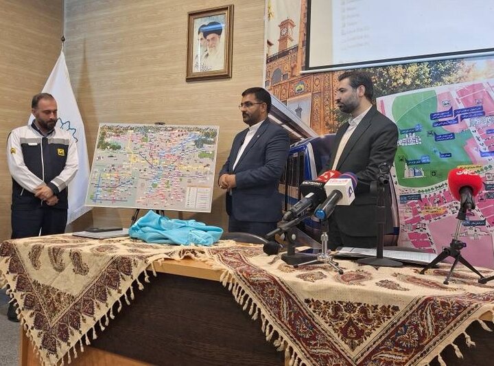
A team based at Tehran’s Aslani Historical and Cultural House mapped metro routes according to nearby tourism attractions and prepared the maps unveiled under the initiative, he said.
According to Ghasemi, an initial assessment identified 40 metro stations with significant tourism potential. Maps have so far been installed at 24 stations, including at entrances, exits and on platform areas.
The assessment covered historical sites, museums, shopping and entertainment facilities, green tourism attractions, religious sites and essential public services. It also considered connections with other forms of public transportation, including Tehran’s bus rapid transit network.
Ghasemi said most information about commercial, medical, architectural and environmental sites had been collected through fieldwork over the past two years. As a result, facilities established during the past four or five months may not yet appear on the maps and will be added in future revisions, he said.
The maps generally cover attractions within a 500-metre radius of each station. The radius for Tajrish station was expanded because the Simin and Jalal House and Nima House are located about 700 meters away.
Ghasemi said the selection of stations was based primarily on Tehran’s historical fabric and tourism potential, with an effort to include less-known areas.
More than 1,020 symbols and graphic categories have been used in the maps. Their color schemes correspond to the colors assigned to Tehran’s metro lines to make them easier to read.
The stations covered by the project include Tajrish, Haqqani, Taleghani, Saadi, Imam Khomeini, 15 Khordad, Khayyam and Mohammadiyeh on Line 1; Baharestan, Mellat and Hasanabad on Line 2; Moniriyeh on Line 3; and Darvazeh Dowlat, Darvazeh Shemiran, Theater-e Shahr, Shohada Square and Ferdowsi on Line 4.
On Line 6, the selected stations are Maryam-e Moqaddas (Holy Mary), Laleh Park and Kargar, while Qiyam, Molavi, Helal Ahmar and Milad Tower are included on Line 7.
The maps for Milad Tower and Haqqani stations have not yet been installed because they require further updating and completion, Ghasemi said.
Ghasemi also called for greater use of the metro in organized tourism tours, saying municipal districts had been informed about the initiative.
AM
Leave a Comment