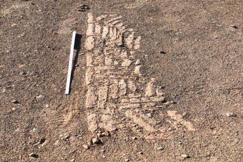
Archaeologists to redraw map of Sirjan

TEHRAN – A team of archaeologists has commenced a mapping project to redraw the boundaries of ancient Sirjan, which has long been a hub for hand-woven kilim carpets.
Kerman province occupies a large portion of the southern half of Iran, and yet even though it has some interesting archaeological finds from different periods of Iranian history, this region has played a relatively small role in Iranian archaeological research until recently, said Maryam Saberi, who presides over the mapping project, Mehr reported on Tuesday.
In the last two decades, however, a great deal of research has been done in this province, including the archaeological excavations and studies, and works from various historical and prehistorical periods have been discovered, she added.
She also expressed hope that a completed archaeological map of the region would be ready as soon as possible based on the studies done.
The vast province has been a cultural melting pot since antiquity, blending Persians with subcontinental tribe dwellers. It is home to myriad historical sites and scenic landscapes such as Bazaar-e Sartasari, Jabalieh Dome, Ganjali Khan Bathhouse, Malek Jameh Mosque, and Shahdad Desert to name a few.
Kerman province is bounded by the provinces of Fars on the west, Yazd on the north, South Khorasan on the northeast, Sistan-Baluchestan on the east, and Hormozgan on the south. It includes the southern part of the central Iranian desert, the Dasht-e Lut.
ABU/ AFM
Leave a Comment