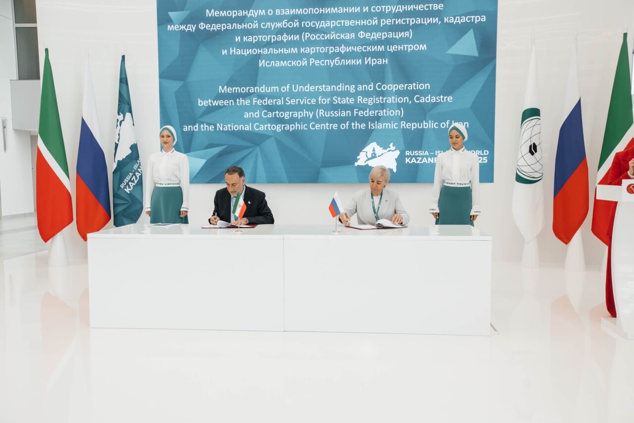
Tehran, Moscow sign MOU on developing SDI

TEHRAN – The National Cartographic Center of Iran and the Russian Federal Service for State Registration, Cadastre and Cartography, have signed a memorandum of understanding (MOU) to develop spatial data infrastructure (SDI).
The MOU was signed on the sidelines of the 16th International Economic Forum ‘Russia – Islamic World: Kazan Forum’, ISNA reported.
It aims to strengthen cooperation between the two organizations through sharing mapping technologies, developing spatial data infrastructures, and implementing joint geomatics projects.
Proposal for establishing joint SDI
In September, the proposal presented by the director general of the National Cartographic Center of Iran (NCC) to establish BRICS spatial data infrastructure (SDI) was received by all the participants in the third meeting of the BRICS working group on geospatial technologies and its application.
Hosted by Moscow, the meeting was held from September 16 and 17.
The third working group meeting aimed to organize a suitable platform for providing new and important opportunities to develop geospatial technologies, foster cooperation, and discuss some key issues.
Addressing the opening ceremony of the meeting, Ali Javidaneh said maps and spatial data are critical tools in the sustainable development of communities, which provide the information needed for informed decision-making, effective planning, and economic growth, ISNA reported.
The official also presented several proposals, among which BRICS SDI drew the attention of the participants, who agreed to lay the ground for its implementation.
Moreover, on the second day of the meeting, the memorandum of understanding previously signed by the working group on the spatial data infrastructure was finalized with the active participation of Iranian representatives.
Geospatial technology is a term used to describe the range of modern tools contributing to the geographic mapping and analysis of the Earth and human societies.
They play an important role in today’s interconnected world and provide valuable assistance to individuals, governments, and various sectors of the economy.
The combination of spatial technologies with artificial intelligence, deep learning, and big data analytics creates favorable outcomes in communications, navigation, transportation, cadaster, cartography, and other applications.
Examples of geospatial technologies include remote sensing, Geographic Information Systems (GIS), and Geographic Positioning Systems (GPS). Geospatial technologies can be used for all sorts of activities, such as military use, environmental use, and everyday use.
MT/MG
Leave a Comment